Hike
Hard
Laugavegur Trail
📍 Highlands
📖 Description
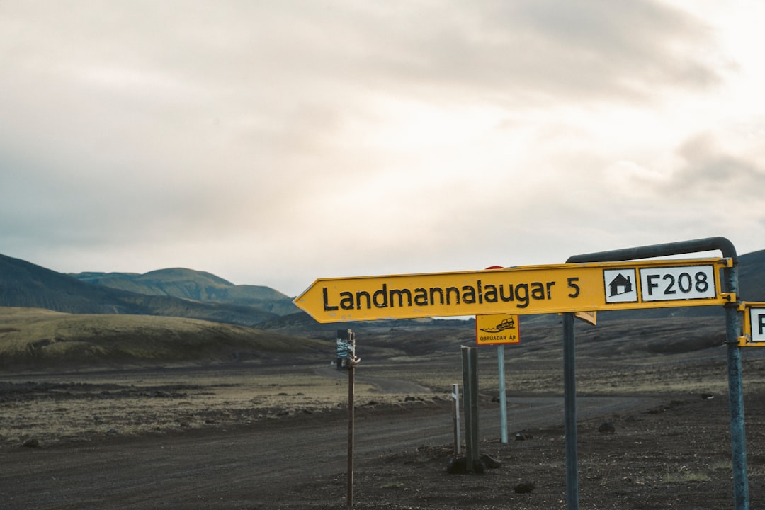
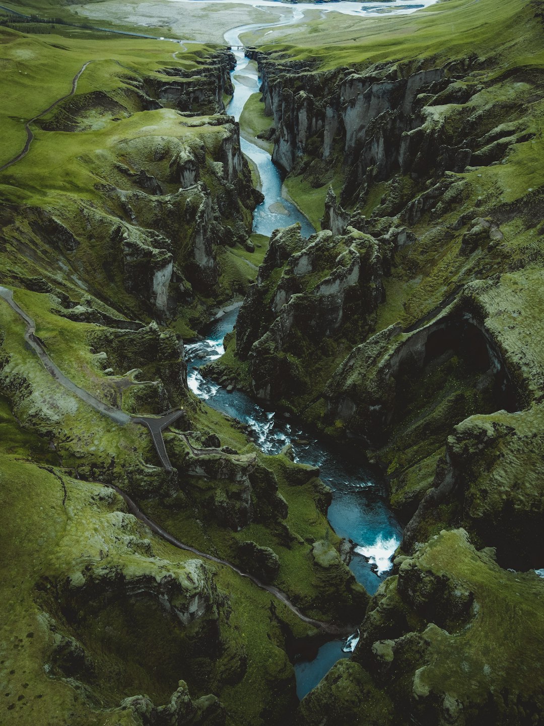
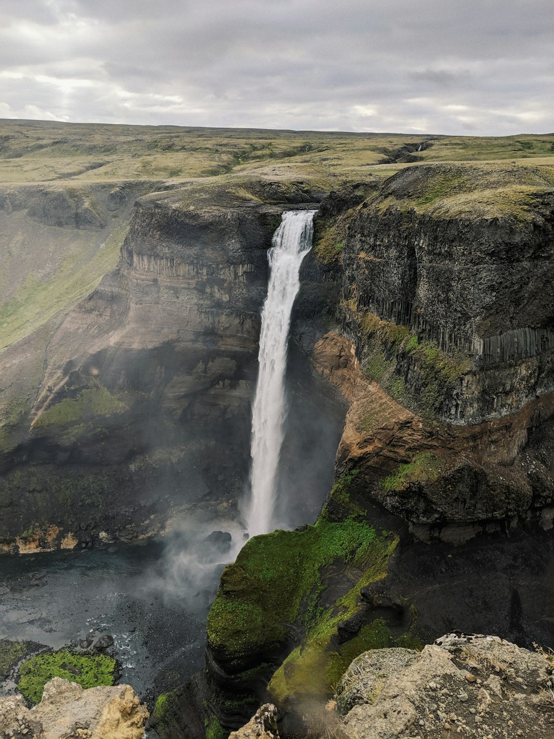
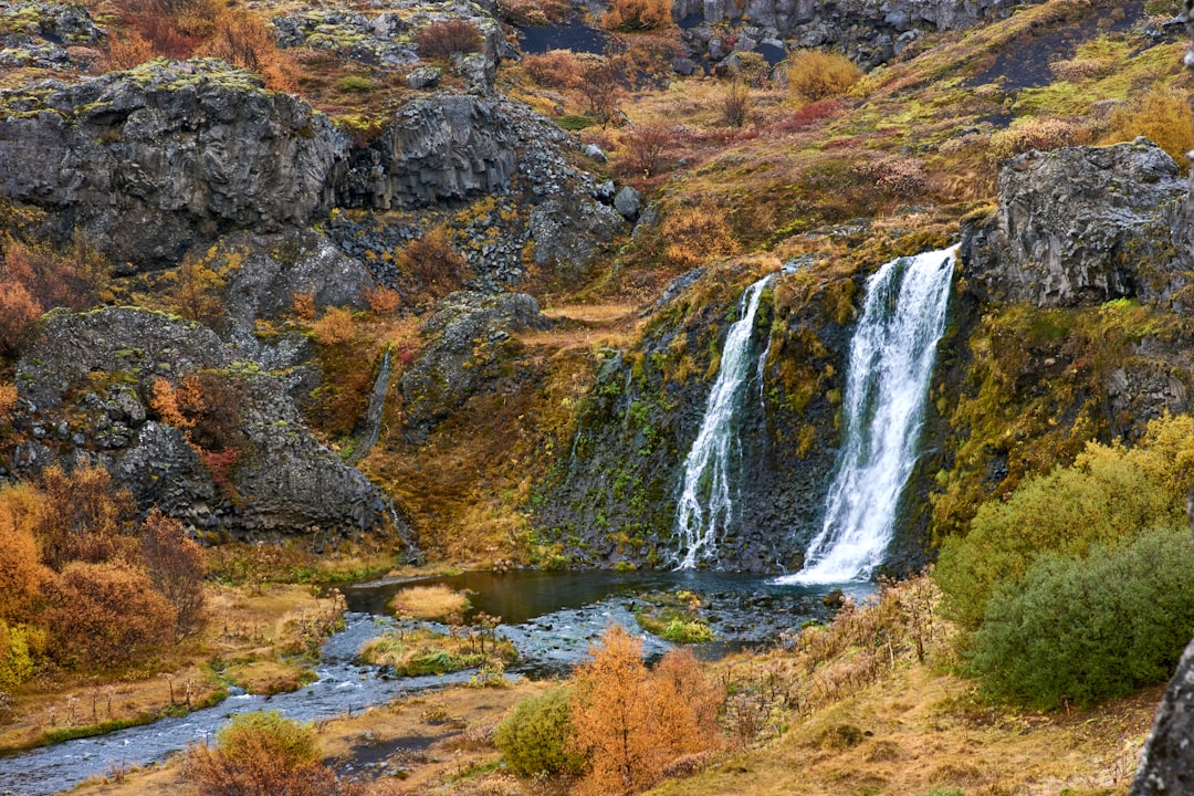
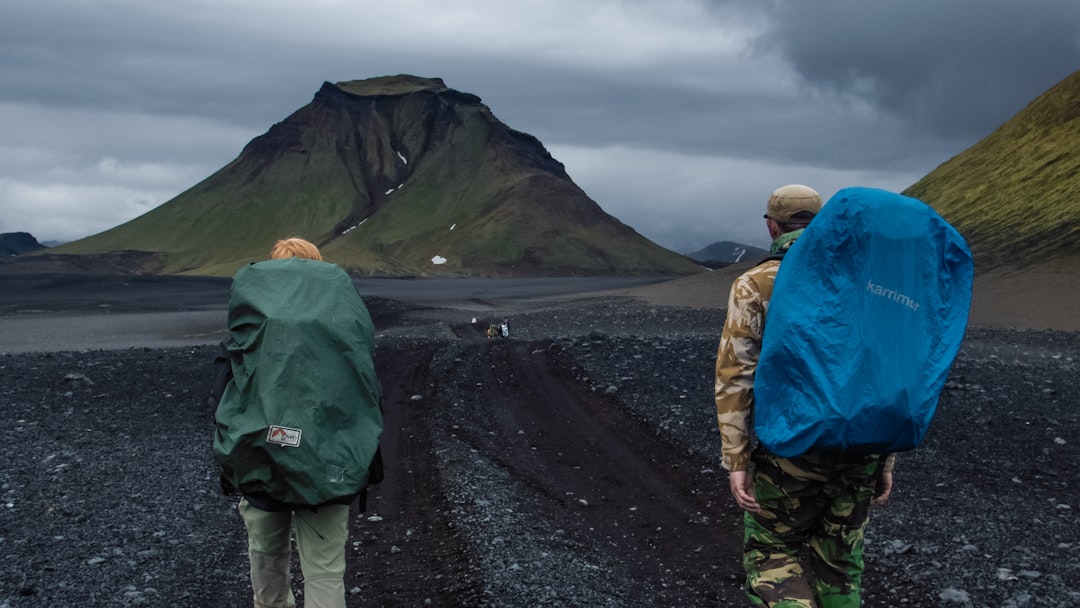
The Laugavegur Trail is one of the world's great hiking routes a 55 km multi-day journey from the geothermal highlands of Landmannalaugar through volcanic deserts, glacial valleys, lava fields and green gorges to the birch forests of Þórsmörk. It passes obsidian flows, rhyolite mountains in neon colours, active hot springs, and pristine wilderness that no road reaches.
🗺️ Location
📋 Information
Region
📍 Highlands
Category
Hike
Difficulty
Hard
Best season
🗓 Summer (July–August)
Drive from Reykjavik
🚗 ~3.5 hours to trailhead (4WD required)
Parking
🅿️ Car park at the Landmannalaugar hut complex. Book mountain huts months in advance for July–August.
Coordinates
63.9939, -19.0550